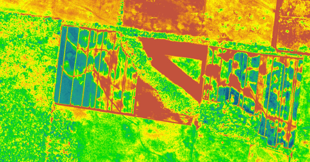
This is a skill-oriented course to provide hands-on practice and project work in the study of python and process the digital satellite image using python coding. Spectral imaging refers to a group of analytical techniques that collect spectroscopic information and imaging information at the same time. It relies on using tailored mathematical algorithms in order to manipulate and enhance data captured through the spectral imaging process. These huge data sets can be analyzed quickly using Python programming language.
Spectral Image Processing using Python
Course Attendees
Still no participant
Course Reviews
Still no reviews
Code(Credit) : CUTM3111 (0+3+1)
| Scheme | Skill for Success (SFS) |
| NSQF Level | 4 |
| Duration | 4 Months |
| Sector | Skill Council for Green Jobs (SCGJ) |
| Occupations | Spectral Image Processing using Python |
| Entry Qualification | Diploma/B. Tech/Applied Science/ Agriculture |
| Minimum Age | 16 Years |
| Aligned to (QP) | |
Course Objectives:
After completing this program-
- Students will gain knowledge of basic concepts in remote sensing using python.
- Students will gain knowledge of applications of different satellite imagery, image classification techniques, image analysis and interpretation.
- To study the spectral python tools for processing Hyperspectral images.
- Can join industry as a GIS analysis / GIS Engineer / Researcher
- Can do higher study in the same discipline
- Can become entrepreneur in the related field.
Learning Record:
The trainee will submit a Practice/Project/Learning record after each class/session.
Assessment Process:
- The assessment agencies should have an expert to conduct assessment and every trainee should score a minimum of 70% in the overall assessment.
- The assessment of the theory/knowledge will be based on a written test/viva-voce or both while the skill test shall be hands-on practical.
Industry Participation:
- Mr. Anjana Mallik, Director, Raj Subha Tech Solution
Latest News & Student Testimonials
Media
Our Main Teachers

A.Avinash working as Assistant Professor, Dept of CSE, Centurion University of Technology and Management, Andhra Pradesh . Interested to work on Machine learning,Natural Language Processing,Problem Solving Methodologies , and ChatBot. Programming Skill: C Programming Data Structure Object Oriented Programming using C++ Formal Language Automata Theory Python Web Development(HTML,CSS,PHP) Database Management Systems Compilers


