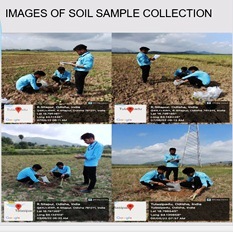
Ongoing summer internship program on Spatio Temporal Analysis of Soilfrom 16th May 2022 to 18th June 2022 @ CUTM, Odisha.
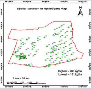
Digital soil mapping is the generation of geographically referenced soil databases and prediction of soil classes or properties from point data using a statistical algorithm.It represents a quantitative relationships between spatially explicit environmental data and measurements in the field and laboratory.Objective of the studyto identify spatial temporal variability of Soil and to develop digital Soil Health Map.